


"Flightwing Enterprises has transformed the way we approach aerial surveys and data collection. Their precision, technical expertise, and commitment to innovation have been key in our success."

Varun Sharma
Mumbai
"Working with Flightwing was an exceptional experience. Their team not only delivered on time but also provided valuable insights and solutions that exceeded our expectations."

Sudeep Mishra
Kanpur


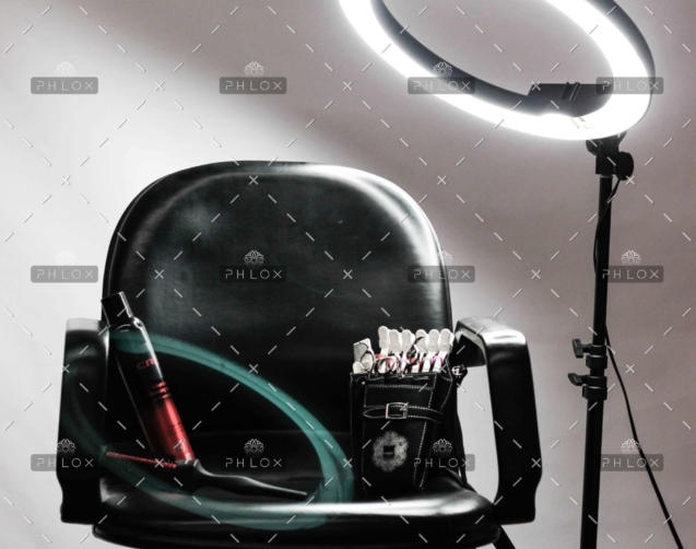
The 6 Secrets That Will Help Your Hair Salon and Day Spa
In Start Your Own Hair Salon and Day Spa, the staff at Entrepreneur Press and w ...
How This Blow-Dry Salon Franchise Went From 3 Units to
A NEW CONCEPT IN HAIR CARE, 'the blowout category', is quickly growing into wha ...

Why a Haircut Made This Entrepreneur Decide to Become
Throughout times, people have worn their hair in a wide variety of styles, larg ...