Elevating Innovation, Expanding Horizons
Flightwing Enterprises
Leader In
Construction
In a professional context it often happens that private or corporate clients corder a publication to be made and presented with the actual content still not being ready.
Improve Your
Experience
In a professional context it often happens that private or corporate clients corder a publication to be made and presented with the actual content still not being ready.
About us
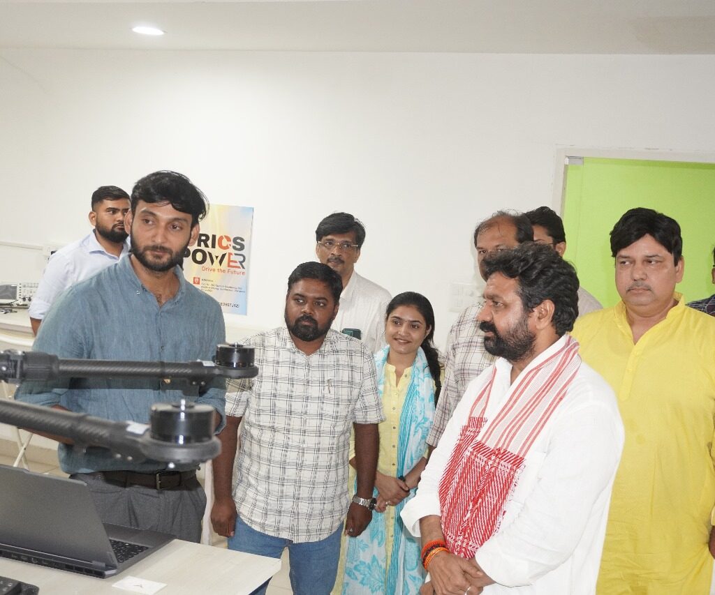
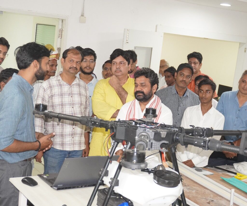
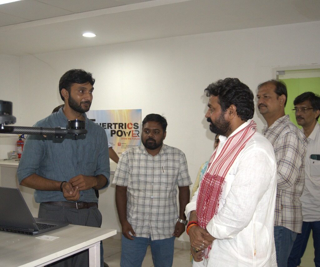
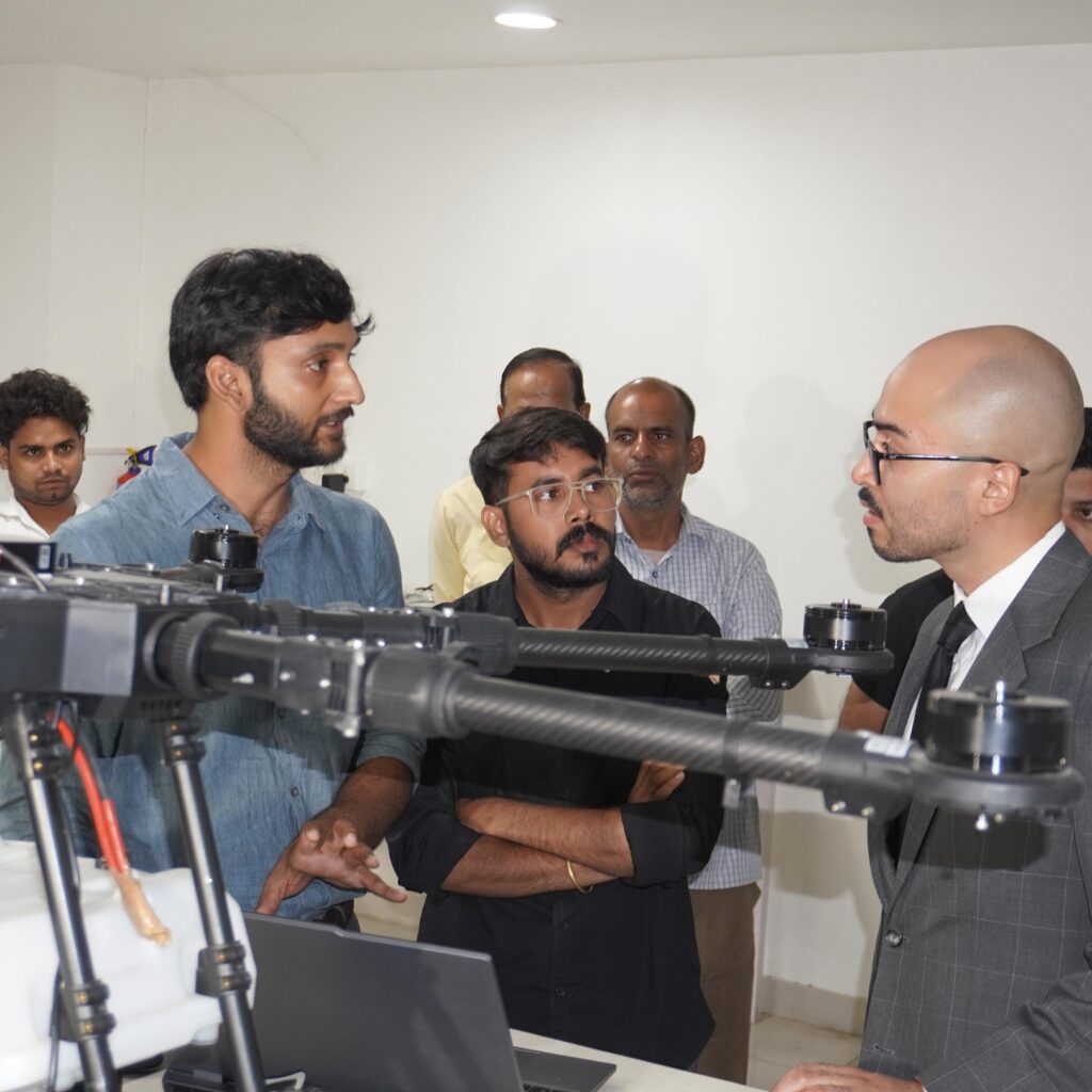
Flightwing Enterprises Pvt. Ltd. is a Varanasi-based drone technology startup specializing in agriculture, infrastructure, and GIS survey solutions. Founded in 2018 and incorporated in 2024, our mission is to transform traditional practices through cutting-edge drone and geospatial technologies, making operations smarter, faster, and more accurate.
We deliver scalable UAV services for:
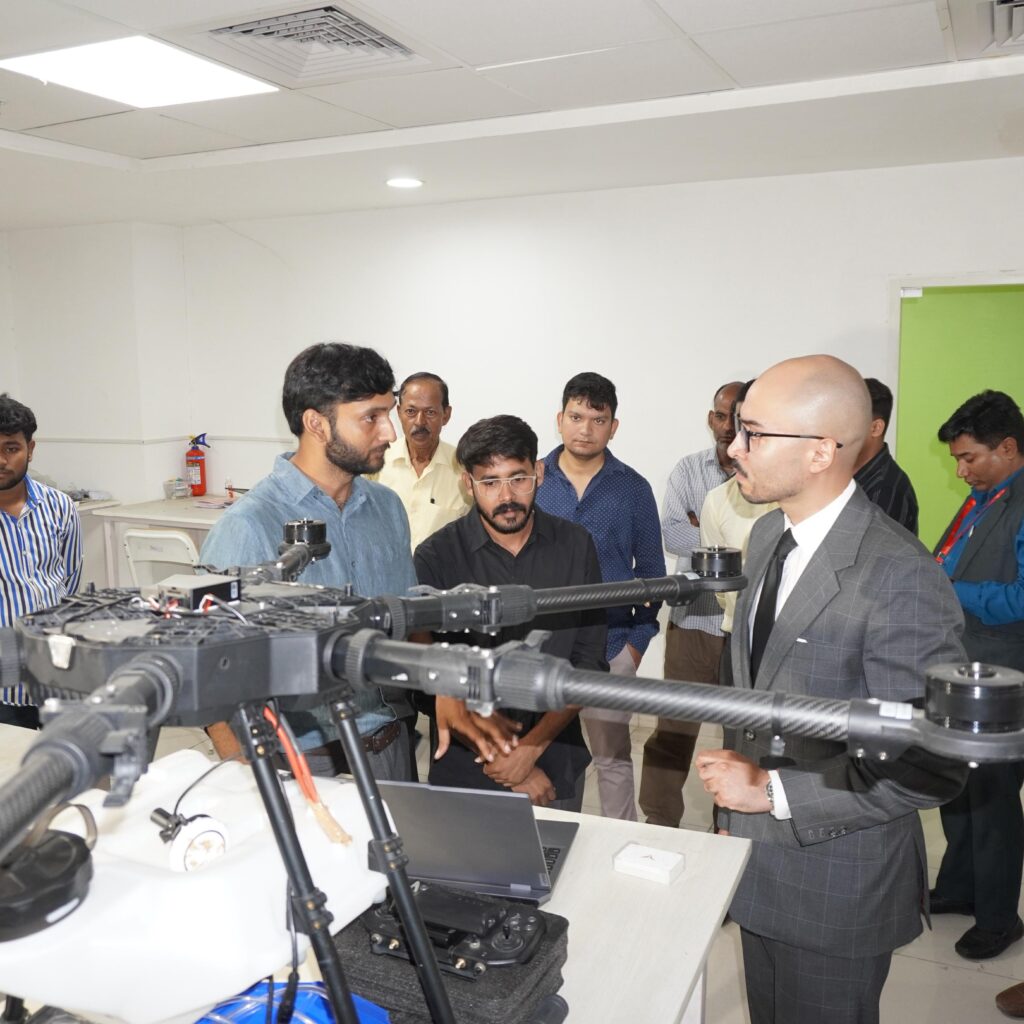
Precision Agriculture – Drone-based spraying, NDVI crop monitoring, and input optimization
GIS Mapping & Surveys – Land boundary marking, flood level (HFL) surveys, river and encroachment analysis
Infrastructure & Mining – Aerial documentation, volume estimation, and 3D terrain mapping
With a vision of empowering rural and urban development, Flightwing has partnered with public and private agencies to provide accurate, real-time data for decision-making. Our solutions are driven by innovation, environmental responsibility, and a strong commitment to farmer-first outcomes.
Our Vision
At Flightwing Enterprises Pvt. Ltd., our vision is to make farming smarter, faster, and easier with the help of drone and GPS technology. We want to help farmers grow more crops, use less resources, and save time by using modern tools like drone spraying and digital land mapping. We dream of a future where: Every farmer has access to the latest technology Every field is monitored with accurate data Rural areas become strong, self-reliant, and well-managed We believe in building a strong and smart India—starting from its villages and farms. “Empowering Bharat from the Sky – One Field at a Time.”
Comprehensive Services
🚁 1. Agricultural Drone Spraying
Fertilizer and pesticide spraying using drones
Saves time, reduces cost, and ensures even coverage
Ideal for paddy, sugarcane, wheat, vegetables, and more
🌱 2. NDVI Crop Health Monitoring
Analyze crop health using drone-mounted multispectral cameras
Detect diseases, water stress, and nutrient gaps early
Get detailed digital reports to take timely action
🗺️ 3. GIS-Based Land Survey
Accurate mapping of farms, fields, and land boundaries
Useful for ownership verification, planning, and soil management
GIS data helps with smart irrigation and farm layout
🏞️ 4. River & Flood Mapping
High Flood Level (HFL) survey using drones
Monitor rivers, ghats, and flood-prone areas
Used by development authorities and city planners
🚫 5. Illegal Construction & Plotting Detection
Drone mapping of urban and rural areas to detect unauthorized development
Help local bodies take action with accurate evidence
Supports town planning and legal enforcement
🌾 6. Greenfield and Smart Village Mapping
Plan smart villages with drone data and GIS layers
Map roads, water sources, and farmland digitally
Support rural development with visual planning tools
📲 7. Agro Wing App Services
Book drone spraying and land survey directly from your phone
Track your reports, access past bookings, and get alerts
Available in Hindi, Bhojpuri, and English

Our Team

AMIT RAI
Director

Ankit Rai
CEO

