1_O1q0ufFcaR6ZY6eKYQIg6g

Our Key

Services

At Flightwing Enterprises, we provide cutting-edge drone technology solutions that cater to the specific needs of various industries. From precision mapping and aerial surveying to advanced inspections and custom drone solutions, we tailor our services to ensure the highest levels of efficiency, accuracy, and safety

drone-for-mapping-1024x895-removebg-preview

1. Aerial Surveying & Mapping

Our Aerial Surveying & Mapping solutions leverage advanced drone technologies to deliver precise, high-resolution data quickly and safely. Utilizing LiDAR, high-definition cameras, and RTK/PPK GPS, we help industries obtain valuable insights into their land, infrastructure, and natural resources. This technology eliminates the limitations of traditional surveying, providing data with greater accuracy and efficiency across challenging terrains and large areas.

2. Agricultural Drone Solutions

Revolutionizing Agriculture with Precision and Efficiency

At Flightwing Enterprises, we harness the power of cutting-edge drone technology to elevate agricultural practices. Our agricultural drone solutions offer farmers and agribusinesses a comprehensive way to enhance productivity, reduce operational costs, and improve crop health management. By integrating drones with advanced sensors and imaging technologies, we deliver actionable insights to make data-driven decisions that lead to healthier, more sustainable crops.

4-10
M350_Open-Pit-Mine-3-of-3_meeting_4966fcd5-4e49-4504-b6d5-55e07c445141

3. Mine survey & Inspection Services

At Flightwing Enterprises Pvt. Ltd., we provide advanced drone-based surveying and inspection services tailored for the mining sector. Our unmanned aerial systems (UAS) enable faster, safer, and more accurate data collection in challenging and hazardous mining environments.

1. Drone-Based Topographic Survey

2. Volume Estimation & Stockpile Measurement

3. Boundary and Lease Area Mapping

4. Safety & Compliance Inspections


Our Technology

At Flightwing Enterprises, we utilize the latest drone technologies to provide high-quality, reliable, and efficient services. Below are some of the advanced technologies we integrate into our offerings:

  • LiDAR Technology: High-precision data collection for topographical mapping, 3D modeling, and detailed terrain analysis.
  • RTK/PPK GPS Systems: For precise data collection, ensuring centimeter-level accuracy in surveying and mapping.
  • High-Resolution Cameras: Capturing detailed and dynamic aerial footage for various industrial and commercial applications.
b976c6de4bb48ffe42cbb0fc75cd91ad

Why Choose Us?


With a team experienced in top industries and incubation at AIC BHU, we leverage the best minds to deliver innovative, tailored solutions. From advanced technologies like LiDAR to sustainable practices, we ensure precision and responsibility in every project. Our focus is on driving long-term value and excellence for our clients, ensuring their success in a rapidly evolving landscape.

  • Experienced Team: Our team is composed of industry professionals with extensive experience in the drone and aviation sectors.
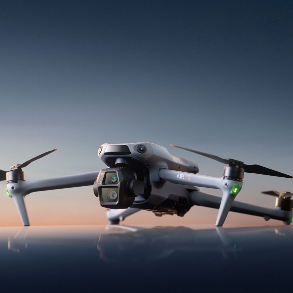
  • Innovative Technology: We leverage the latest drone technologies and sensors like LiDAR and RTK GPS to ensure precise and efficient service delivery.
  • Tailored Solutions: We provide customized services that meet the specific needs of each industry we serve.
  • Safety and Compliance: All our drone operations follow DGCA regulations, ensuring safety and compliance in all our projects.

Let’s Talk!

Ready to explore how drone technology can transform your business? Contact us today, and let’s discuss how we can provide the right solutions for your needs!